This map animation highlights the restaurant's location, illustrating its distance from Washington, DC, and Dulles International Airport. Starting with a view of the restaurant's location, the map zooms out to reveal the restaurant's position relative to the city and the airport, with clear markers and dynamic lines showing the approximate travel routes and distances. A brief text overlay provides specific driving time for context.
You may also like

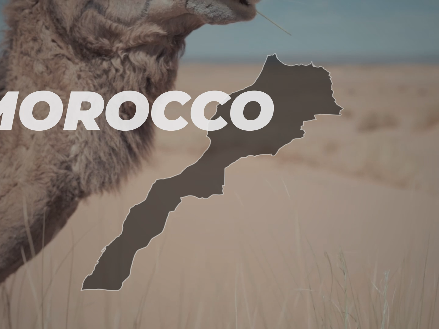
🌊 Continental Divide: U.S. Watershed Map Animation
2025
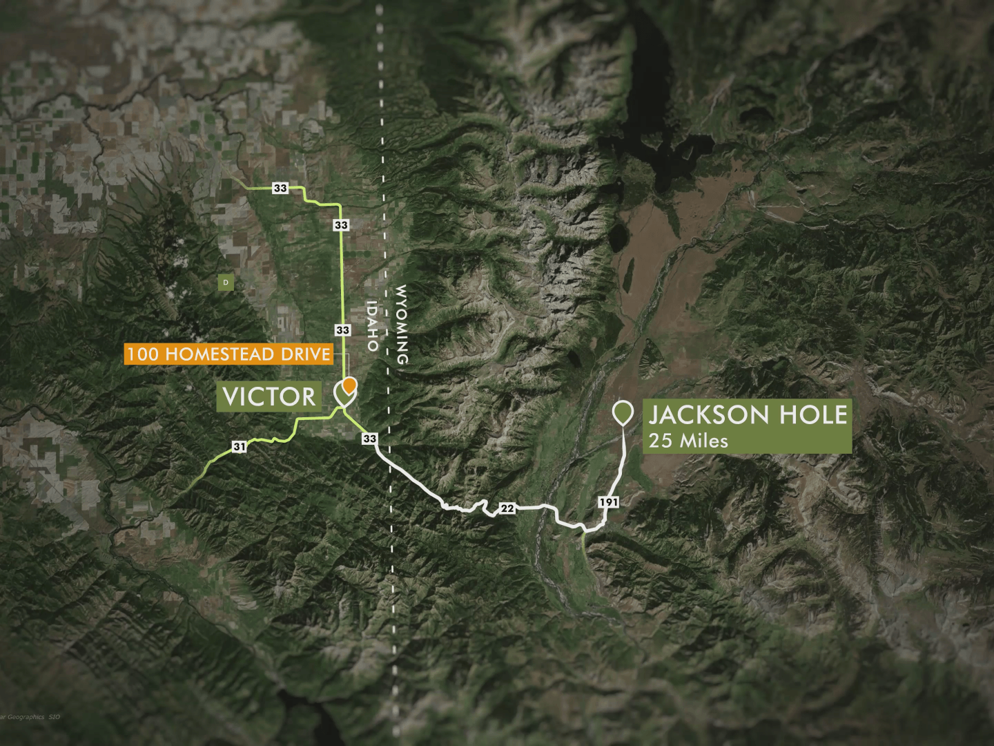
🏔️ Teton Valley Alpine Circuit: Animated Map
2025
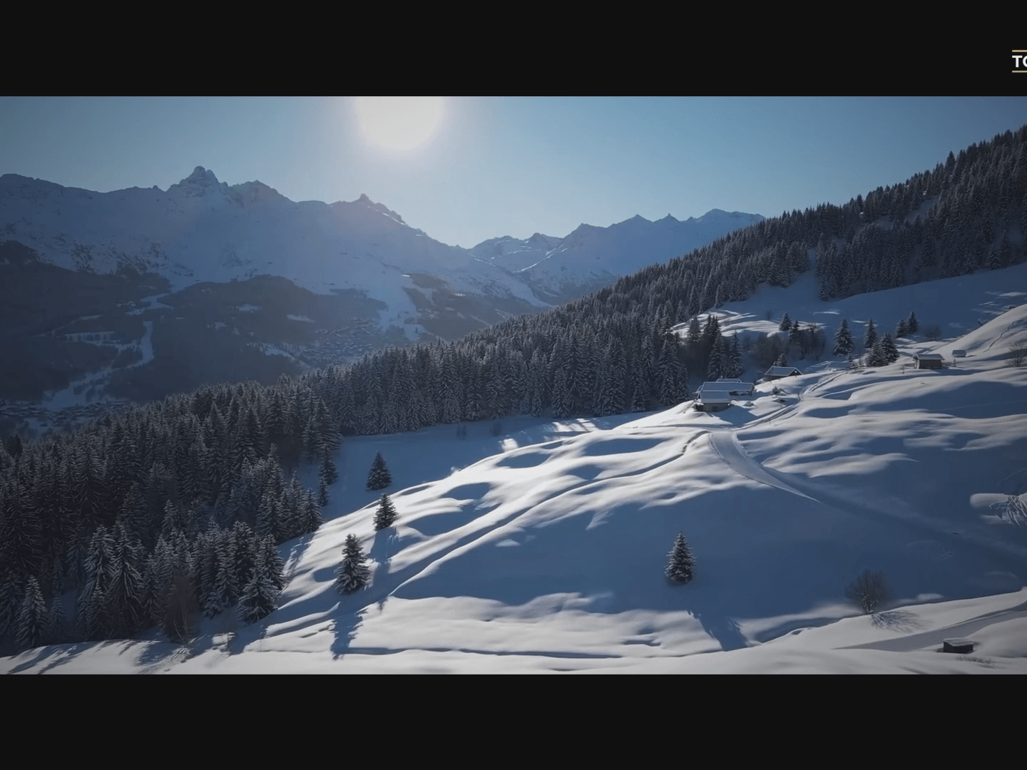
Méribel Cinematic Trailer
2025
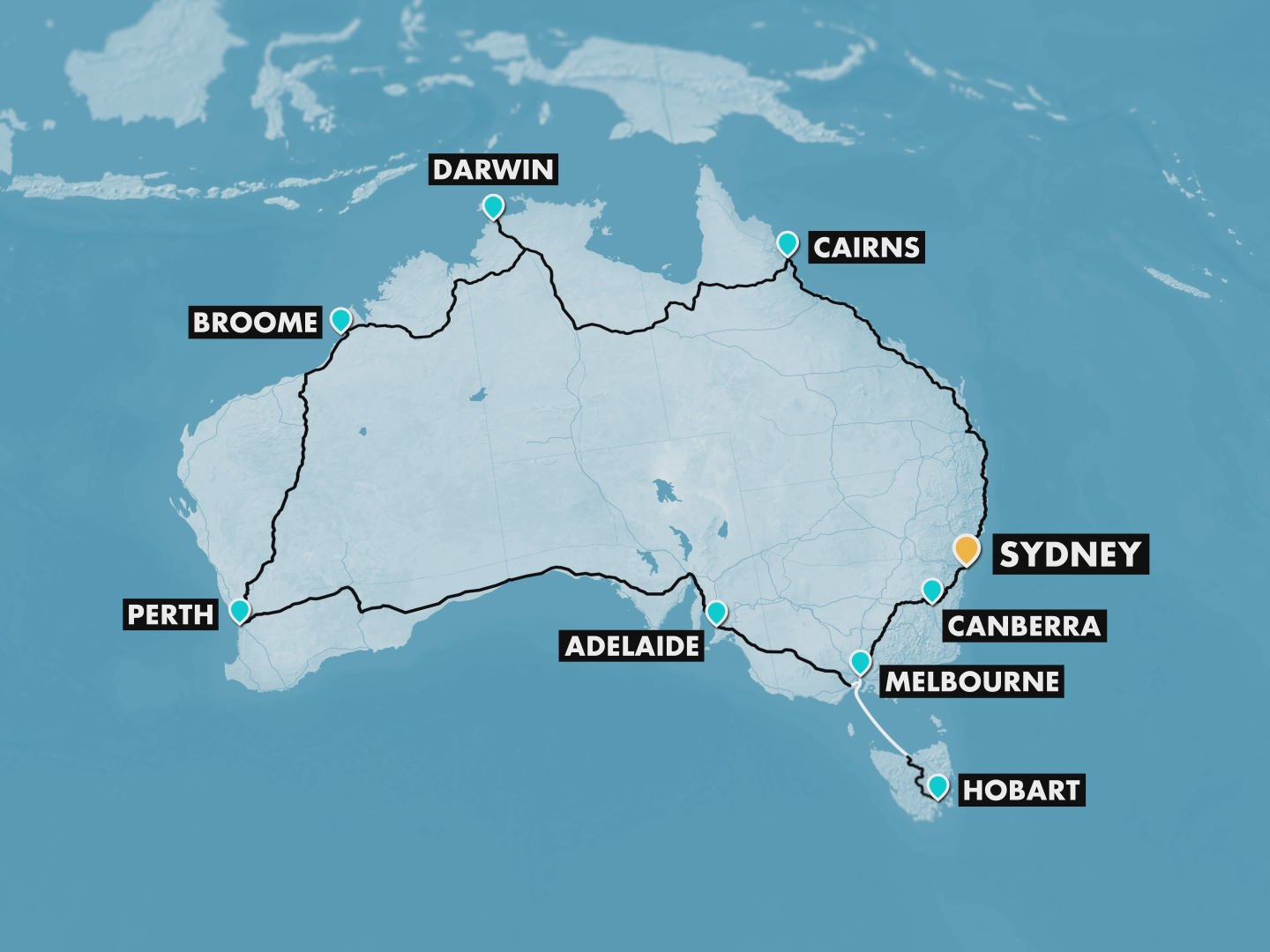
Bike Route in Australia
2025
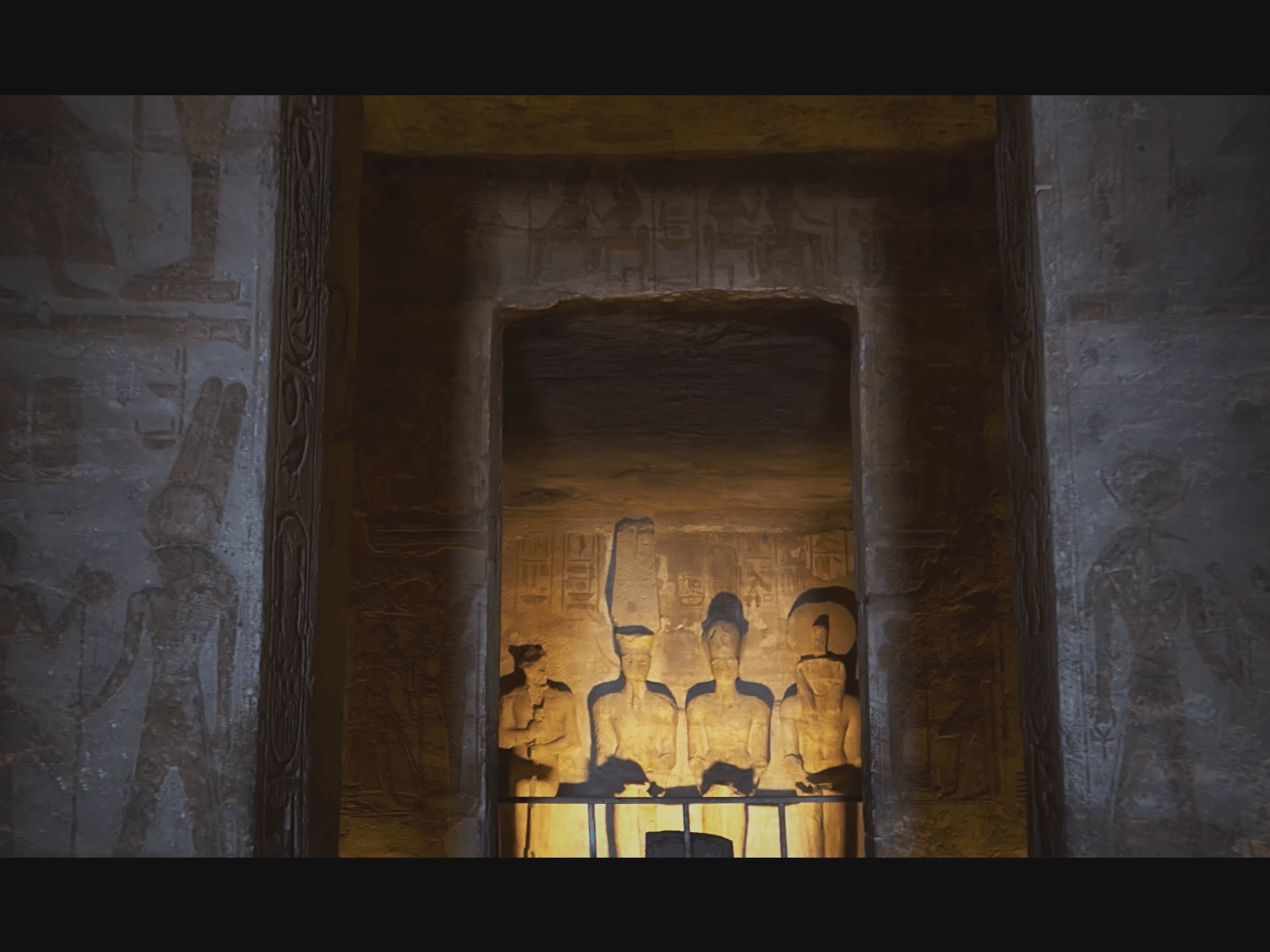
Egypt Cinematic Trailer
2025
Laffah Tour
2025
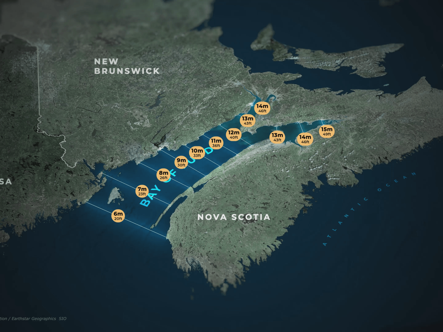
🌊 Bay of Fundy: Tidal Extremes Map Animation
2025

⛰️ Nepal: Taksindu to Dudh Kunda 3D Route Animation
2025
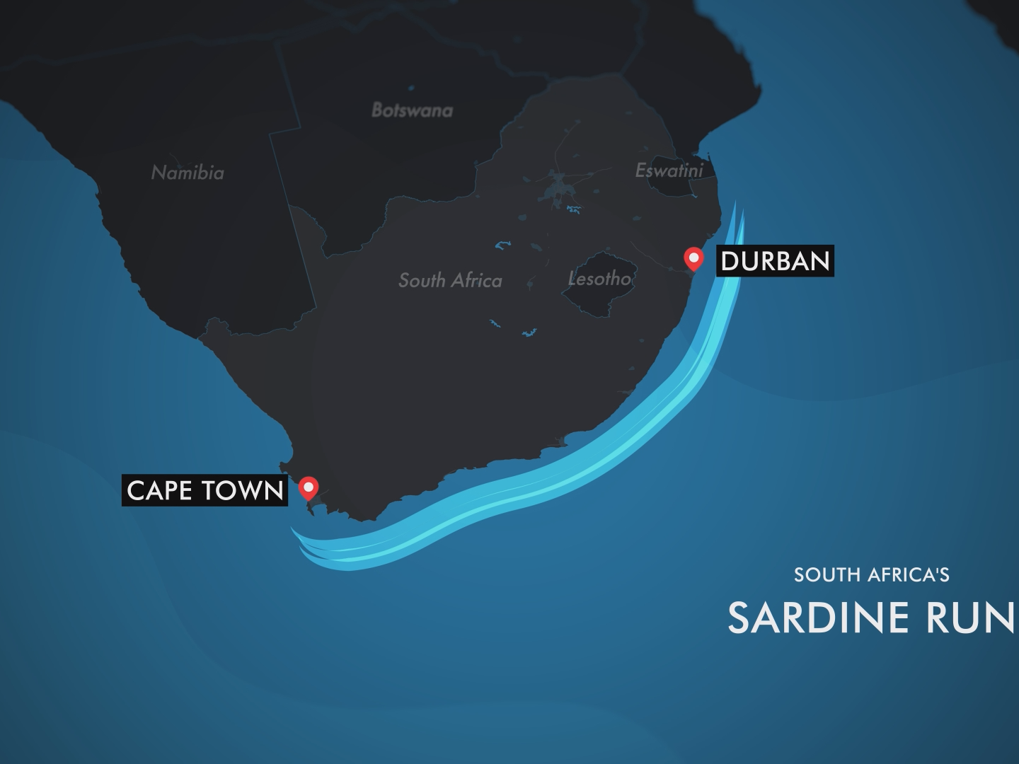
🐟 Sardine Run: South Africa's Migration Map Animation
2025
Topographical Map Animation
2025