A technical map animation explaining the term of watershed map using the United States as the primary example. The visualization centers on the Rocky Mountains as the Continental Divide, demonstrating how precipitation is diverted either toward the Atlantic Ocean or the Pacific Ocean. The map animation illustrates the flow of water through major river systems to define regional drainage basins.
You may also like

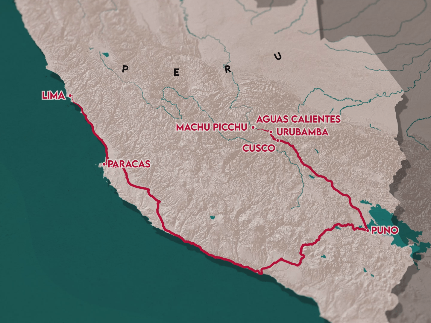
TravelCoup Map Animation
2025

Restaurant Map Location
2025
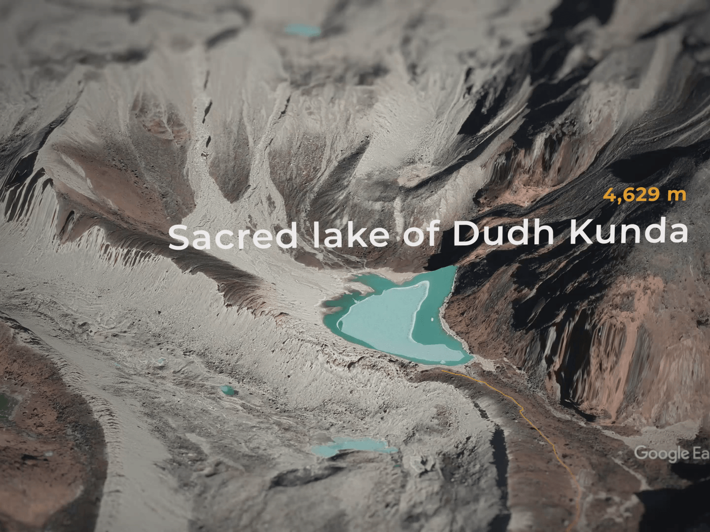
⛰️ Nepal: Taksindu to Dudh Kunda 3D Route Animation
2025

Costa Rica
2025
🇵🇦 Panama: Cross-Country Route Map Animation
2025

SoCal Map Animation
2025

Indiana Jones Map Animation
2025

Dental Clinic Locations
2025

Egypt Cinematic Trailer
2025
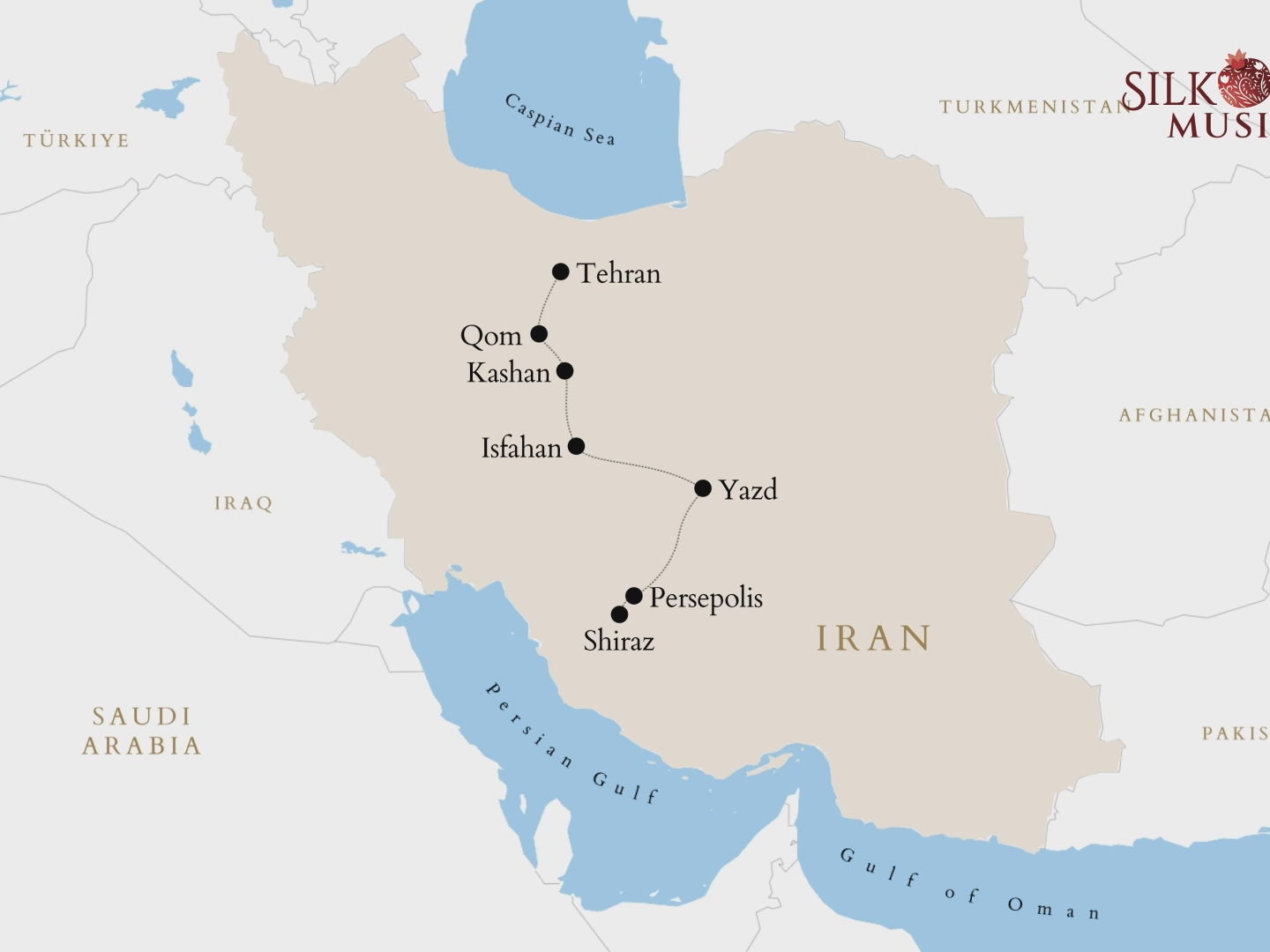
Discover the Treasures of Iran
2025